

Premium Digital Twin Experiences for the Built World
Freely explore every perspective, experience the scale and surroundings, interact with contextual information, and immerse yourself in the space from anywhere — on desktop, mobile, or VR.
With Aestra3D, the real world becomes a digital environment you can explore, enrich, share, and reimagine.
The Aestra3D Digital Twin Experience
From capture to visualization, our Montreal team creates immersive digital twins that transform the way people explore, understand, and share real-world spaces. Whether you're documenting existing conditions, collaborating with your team, or envisioning future possibilities, Aestra3D delivers an intuitive experience accessible from desktop, mobile, and VR.
TAKE BETTER DECISIONS
More than a better way to view a space. Aestra3D helps people explore longer, understand faster and make more informed decisions — without always needing to be there in person.
FEWER LIVE VISITS
HIGHER ENGAGEMENT
FASTER REVIEWS


01 - Capture
Using advanced terrestrial scanning, photography and drone capture when required, we reconstruct real-world spaces as detailed, photorealistic digital environments.
From expansive aerial views to intricate interior details, we deliver a seamless 3D representation with exceptional coverage and precision.
02 - Enrich
We transform scans into interactive digital experiences.
We enhance every digital twin with rich, interactive hotspots that can include text, photos, videos, audio, PDFs, floor plans, contact information, call-to-action buttons, and more.
With white-label branding, every experience can be customized to reflect your organization and identity.*
03 - Share
We make your digital twins easy to access and effortless to share.
Whether it’s through a secure link, QR code, embedded viewer, password-protected access, client portal, or downloadable package, we deliver your project in the format that best fits your audience.
Every digital twin is accessible from desktop, mobile, and VR devices*.
04 - Imagine
Explore. Experience. Reimagine.
Step inside your digital twin and navigate every space with complete freedom. Walk through buildings, inspect details from any angle, and experience places as if you were physically there.
When you’re ready to envision what’s next, Vision AI transforms your current view into a realistic visualization, helping you explore renovations, redesigns, and new possibilities in seconds.



ANALYTICS & INSIGHTS
See how people experience your space.
Go beyond views and understand how visitors actually engage with your Digital Twin.
Every Aestra experience includes built-in analytics that reveal how people explore your space, where they spend their time and which content captures their attention.
VISITOR ENGAGEMENT
Understand how many people explore your experience, how often they visit and how long they stay.
SCENE INSIGHTS
Discover which rooms, spaces and environments attract the most attention.
INTERACTION TRACKING
See how visitors engage with hotspots, saved views and interactive content throughout the experience.
AI VISION INSIGHTS
Discover what visitors choose to reimagine and gain a deeper understanding of their interests and intent.
CLEAR REPORTING
Turn engagement data into clear insights that can be shared with clients, teams and stakeholders.
More than a Digital Twin. A measurable experience.

AI VISION
Reimagine any space with AI.
AI VISION lets you transform the scene you’re viewing with a simple prompt. At any moment while exploring a 3D scan, capture your current view and describe what you’d like to see. Our AI generates a realistic visualization based on the exact perspective of the scan.
Whether you’re redesigning an interior, renovating a building, or exploring creative ideas, Vision AI helps you visualize possibilities in seconds.


Built Around Your Industry
Real Estate
Turn online interest into qualified visits.
Let buyers explore every room, understand the layout and imagine themselves living there — before booking a showing.
Hospitality
Let clients fall in love before they arrive.
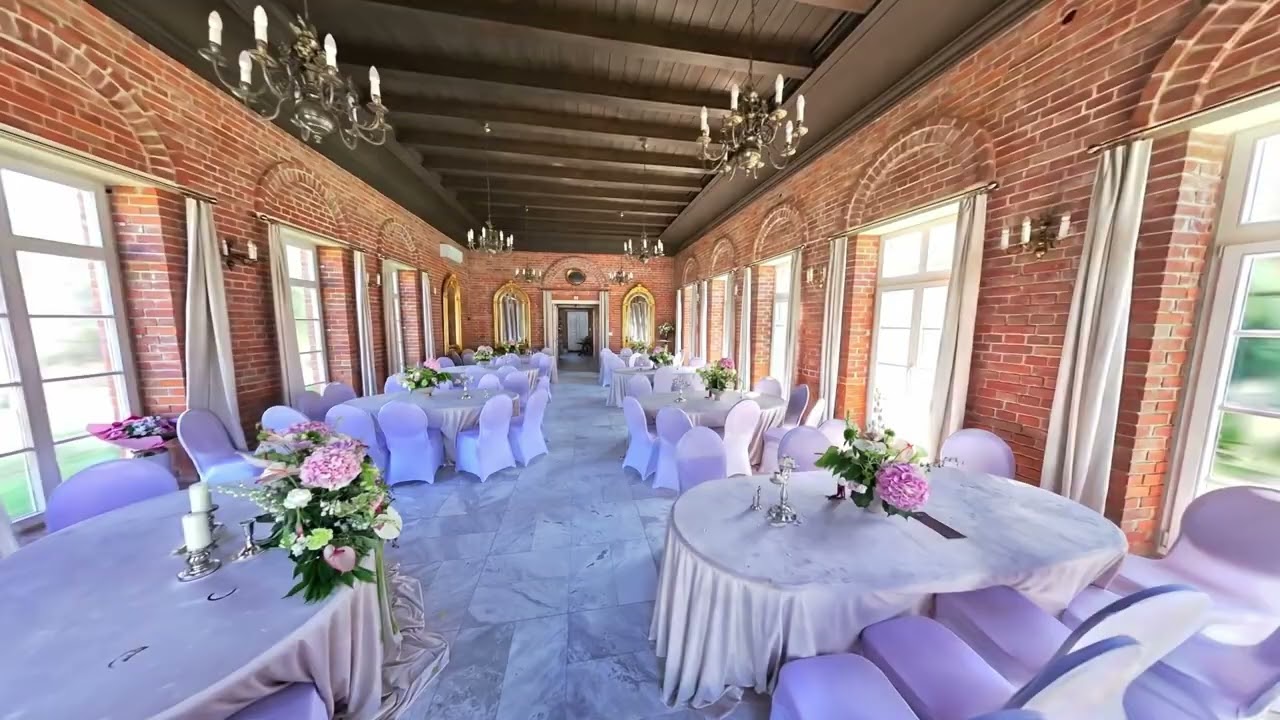
Show the atmosphere, spaces and possibilities of your venue so clients can explore with confidence before booking.
Architecture
Bring the project to everyone — without bringing everyone to the site.
Document progress, revisit spaces remotely and give clients, teams and stakeholders a shared visual reference.
Retail
Turn your showroom into an always-open digital destination.
Let customers explore products in context, discover details through hotspots and connect directly to product pages.
Culture
Make the experience accessible beyond the physical visit.
Preserve places digitally and enrich them with stories, archives, video, audio and educational content.
Industries
Transform facilities, equipment and operational environments into interactive Digital Twins for remote access, onboarding, knowledge transfer and immersive learning.
